Need some wind therapy?

With 45+ years of riding experience, the team has developed a library of our favorite rides in Texas and points beyond. We call them our Twisted Rides. We thought it might be a good idea to share that experience and encourage you to do the same!

We partnered with MyRoute-app, a leading provider of route planning tools, to create and share the routes. Using the map below, Users are able to view and download the routes without registering with MyRoute-app. If you would like the ability to open/edit/save the routes, the User will be prompted to register with MyRoute-app and offered two subscription levels - Basic (free) and Gold (fee dependent on subscription term and payment method). Being an avid ride planner, I prefer the Gold level for the additional features and I also believe in supporting independent software developers who invest their time and talents to create useful applications for the motorcycle industry. As a Twisted Rides referral, you receive an extended evaluation period and special pricing if you choose the Gold level - so give it a shot!

What journey is on your bucket list? Click on a ride below and we'll show you the way!

Tuesday, August 6, 2019

Go West! Tour - Long Road Home

Day 19
Amarillo, TX to Tyler, TX - 479 Miles

After a long day yesterday and a late night, our bodies decided we needed an extra couple hours of rest. so we got a very late start on the final leg home. The late start meant that we would be going through the Dallas/Fort Worth area during the peak of rush hour, so we re-routed around the DFW Metroplex on US-82. That routing runs through a bunch of small towns and, as luck would have it, a large roadside grass fire around Gainesville, TX. The fire crews were on the scene, doing their best to get ahead of the flames before they took any structures.

Our cupboards were bare at home, so we stopped for some much-missed sliced brisket at Mack's Split Rail Pit BBQ in Mineola, TX as our dinner meal. We feasted, then embarked on the final few miles to our little log cabin on the lake, aka Camp Run-a-Muk.


Debrief and Recap

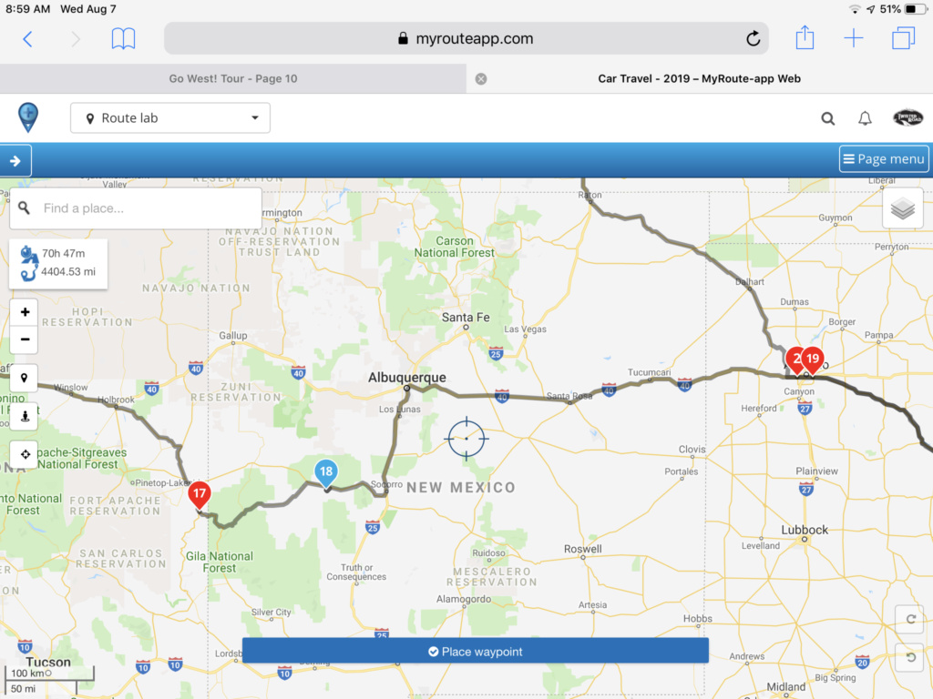
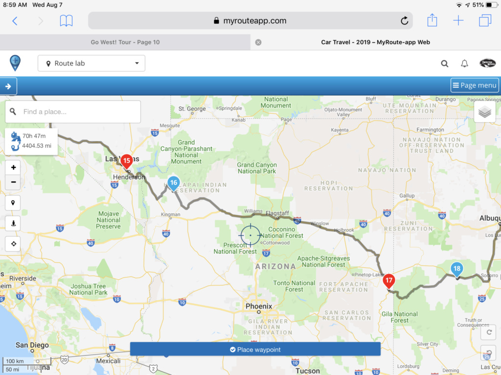
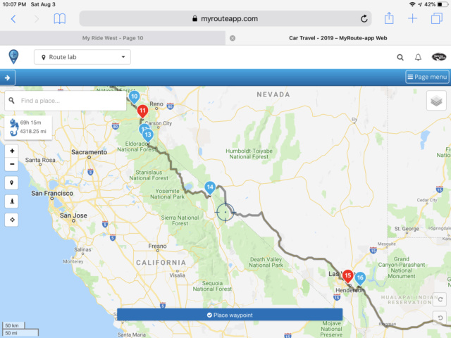
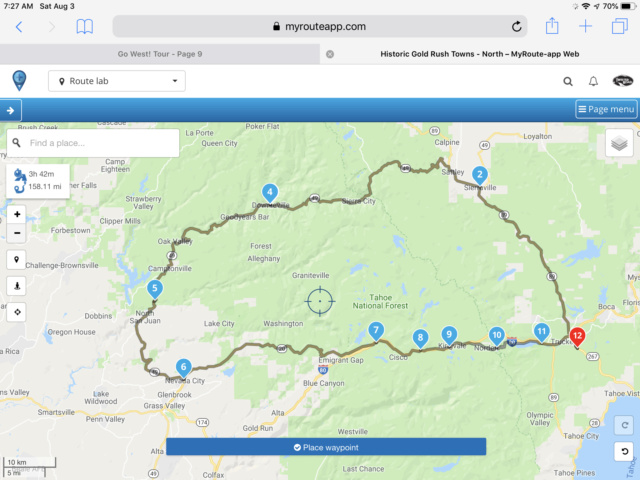
First, a few statistics on the trip, compliments of the route planning software used (MyRouteApp.com)...

Distance: 
  Auto - 4,391 miles (68 hours, 37 minutes)
  Motorcycle - 1,139 miles (24 hours, 3 minutes)
  Total - 5,530 Miles

Room nights:
  14 nights in 12 different hotels
  5 (relaxing and wonderful) nights with relatives

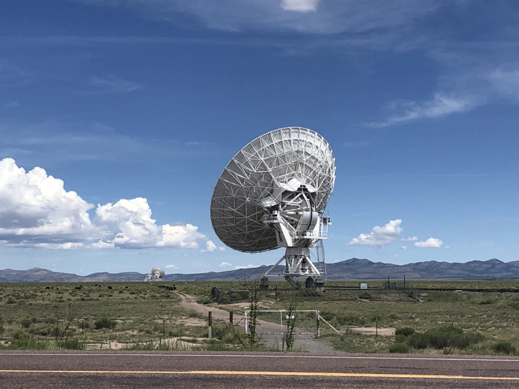
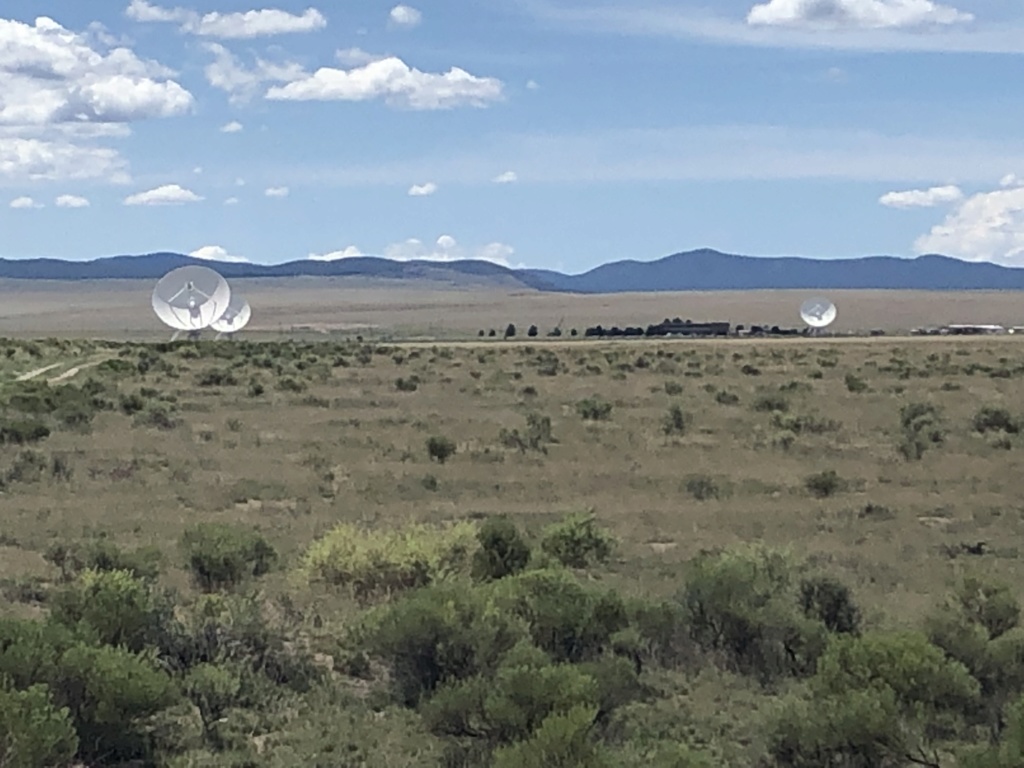
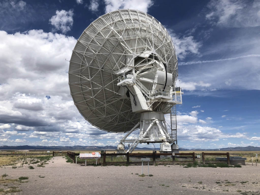
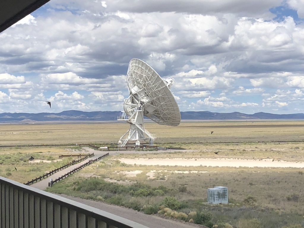
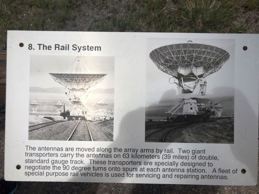
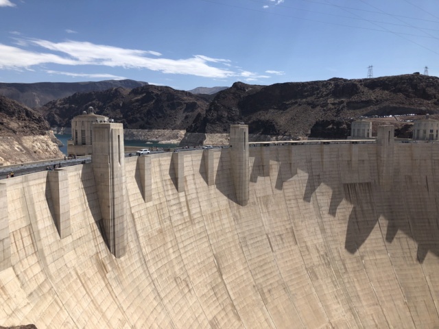
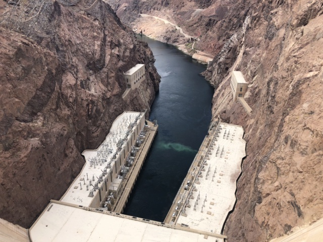
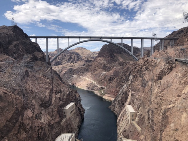
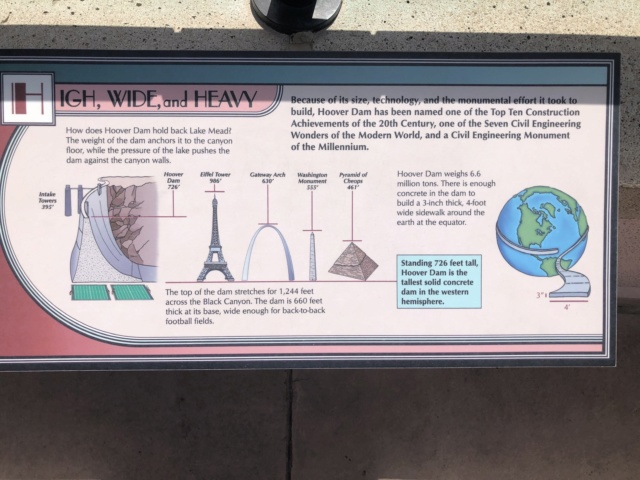
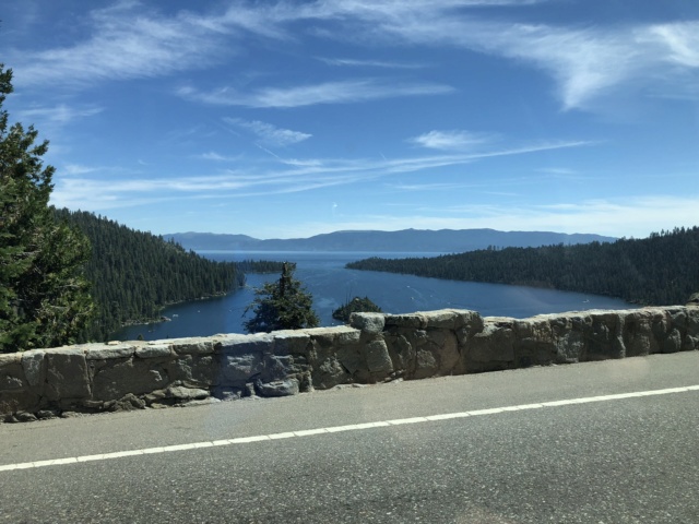
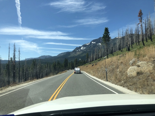
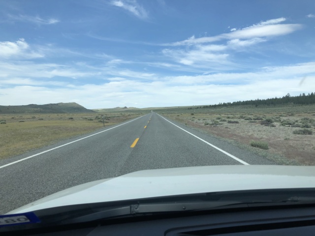
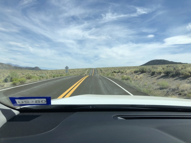
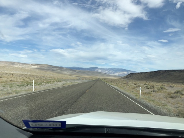
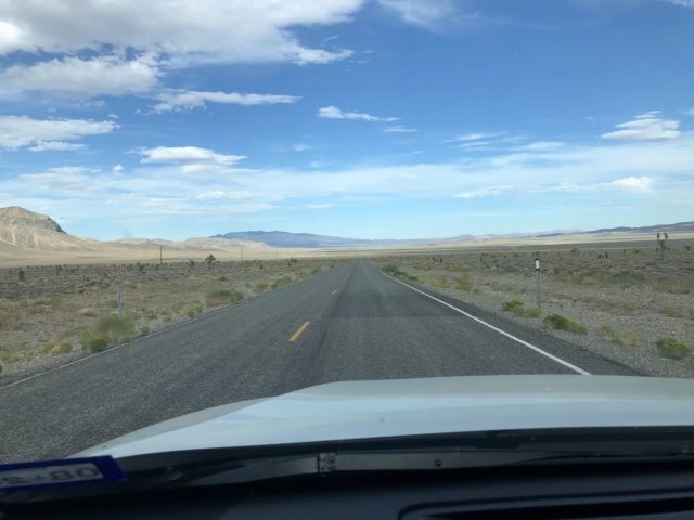
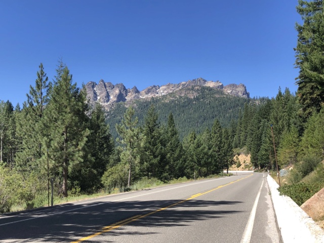
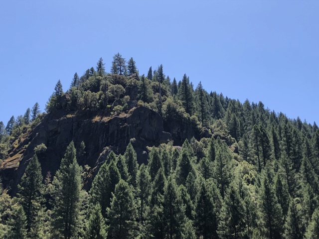
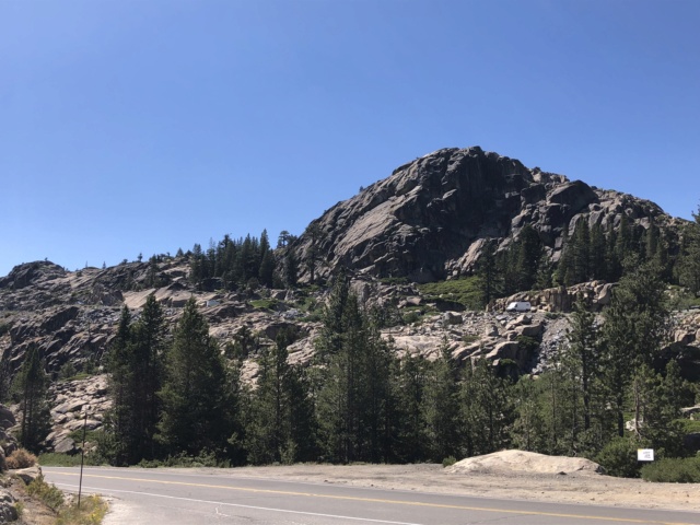
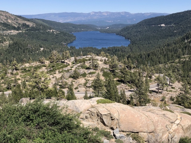
This is the first time we have combined so much drive/ride into a vacation and the most miles we have ever traveled on a single trip. The sights along I-70 in Colorado were beautiful (when traffic was moving!) and the leg across the Great Salt Lake Desert is a sight to be seen, for sure. We were just amazed at how the landscape changed so frequently as we drove across Colorado, Utah, Nevada, and Oregon. Oh, and Crater Lake - WOW!!

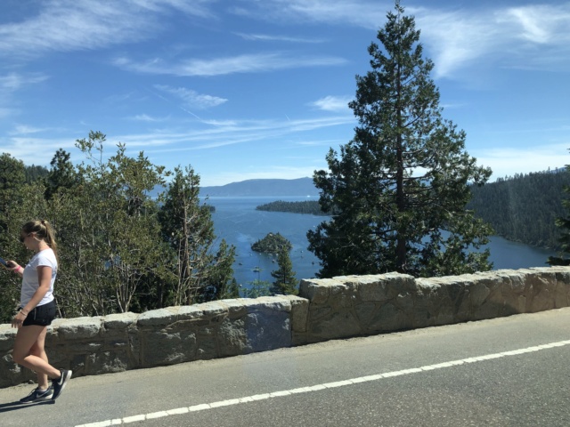
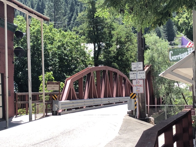
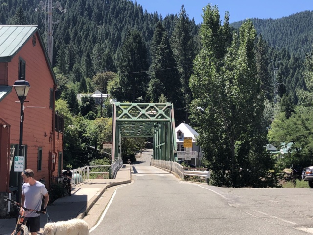
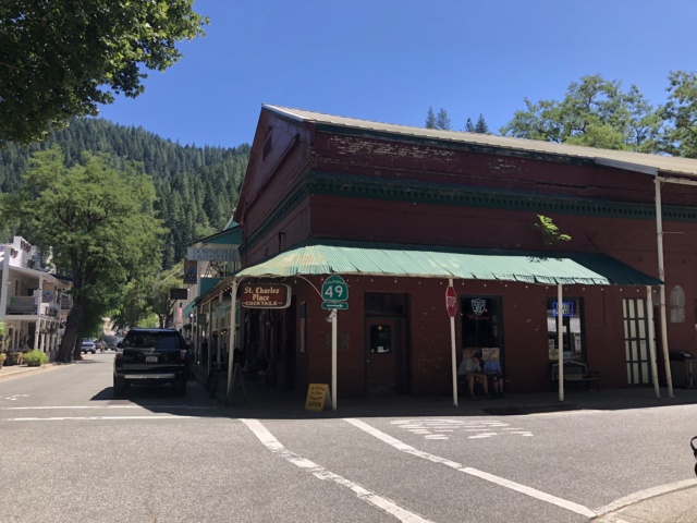
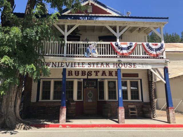
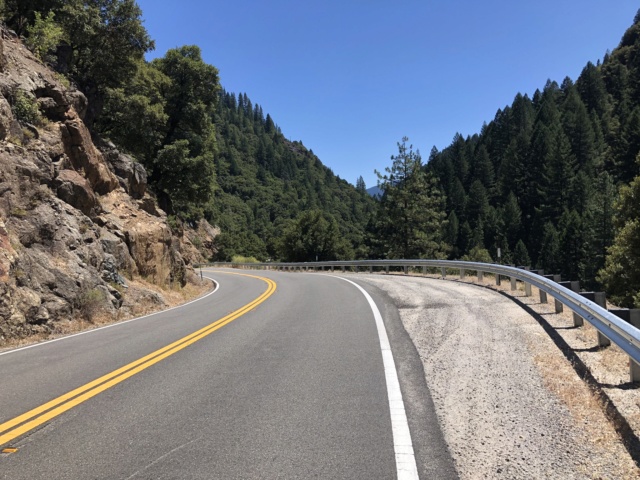
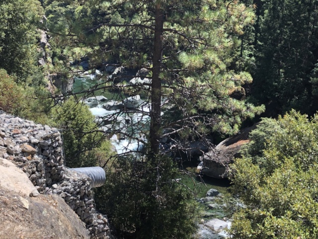
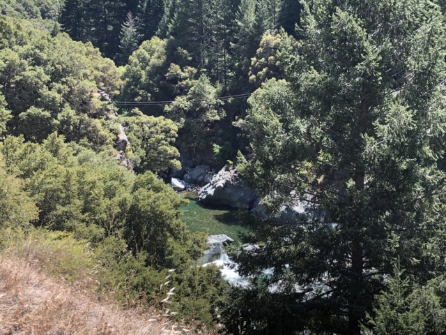
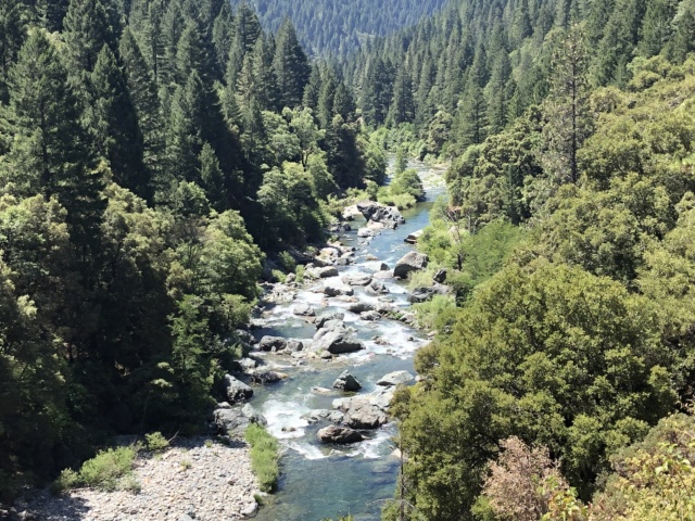
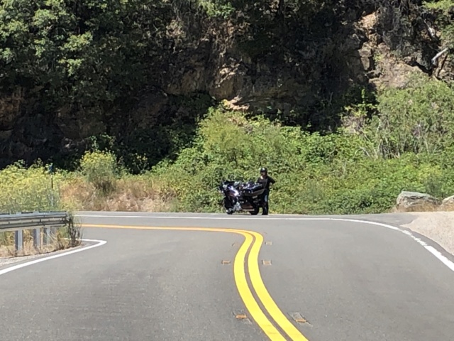
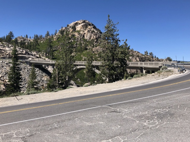
The Pacific Coast Highway was our first visit to the Northern California and Oregon coastlines, and it was truly awe inspiring. Liz is still talking about the hotel room overlooking the Pacific Ocean. The battery failure and cooling light problems were concerning at the time, but did not really cause that much of an inconvenience in the grand scheme of things. The day spent cruising the old Gold Rush towns and Lake Tahoe left me hungry to see more. I have a full 7-day ride mapped and ready to ride, including Yosemite National Park, but only when the tourist crowds are much smaller. I'm not exactly sure when that is and if it coincides with good riding temps.

Adding down-time in between the drives and rides definitely helped minimize road fatigue. That said, several individual days were too long or too technical near the end of a day when the senses are tired and dull. Something to think about in future route planning.

Most of all, we really enjoyed the opportunity to visit with family living so far away. They don't get guests often, so I think they enjoyed it as well. 

And to think, it all began with a chifferobe.

Monday, August 5, 2019

Go West! Tour - Very Large Array

Day 18
Alpine, AZ to Amarillo, TX - 539 miles

Our routing for the day (Waypoints 17-19):


We started the day with a big breakfast at the Bear Wallow Cafe in Alpine, AZ. It’s a locally owned joint with lots of personality and great home style food. I would share some pics, but they have a “No Cell Phone or No Service” policy...and they mean it! You actually get to enjoy a meal with people just talking to each other!

We then headed to the feature of the day, the Very Large Array (VLA) located approximately 50 miles west of Socorro, NM. Completed in 1980, the VLA is the largest and most advanced radio telescope on Earth. Unlike light-based telescope observatories which only function in darkness, the VLA uses coordinated radio signals to “see” invisible radio wavelengths produced by objects 26,000 light years away - that's over 150 quadrillion miles! The radio telescopes are so sensitive to radio signals, one must turn-off all portable electronics when touring the grounds.

The facility is managed by the National Radio Astronomy Observatory and is used to research the creation of new stars, galaxies, and black holes in deep space. There are 27 antenna dishes that make up the radio telescope (and one more in maintenance rotation), each standing 95’ tall and 82’ across. The antennas can be arranged in four different configurations, depending upon the level of focus required for a particular research endeavor. 

Let me take you on our self-guided tour...


All configurations are in a “Y” shape, the spacing determining the range of focus. Each antenna weighs 230 tons and is moved around on train tracks using a special transport vehicle, similar to what is used to move the space shuttle to its launch pad. The maximum span of the dishes is 22 miles, so it is indeed, a very large telescope!


Several movies have used the VLA as a backdrop or set, one of the most popular being Contact, starring Jodie Foster. She also narrated a very informative overview film that is shown in the VLA Visitor Center. To view the 24 minute film, click here.

I warned you it was a geek tour! But very interesting, nonetheless.

The remainder of the day was spent chewing up miles on I-40 in hopes of reaching the Big Texan Steakhouse early enough to enjoy a good steak. Alas, by the time we arrived in Amarillo, our appetites had waned, so we just held Happy Hour and went to bed. Our last bed on the road for a while.

Sunday, August 4, 2019

Go West! Tour - Dam and It's Hot!

Day 18
Henderson, NV to Alpine, AZ - 458 miles

Upon arrival in Henderson, we needed to refresh our provisions. We stopped at the nearly Total Wine and More superstore and I was amazed. This was the best stocked liquor and wine store I have ever entered. I took this pic of the high end whiskeys in case anyone needs ideas on what to get me for Christmas. Just pick one and I’ll be delighted by your selection!


You know it’s good when Makers Mark is on the lower shelf!


Route for the day (Waypoints 15-17):


Well, I’ll be damned. Hoover Dam! 

We routed through Las Vegas so that we could see a sight we’ve never seen before. Very cool.


A few warnings for those who have never visited the Hoover Dam: 1) there is a security check prior to getting anywhere close to the dam; 2) they do not allow trailers beyond said security point. We had to backtrack to a hotel parking lot and off-load the trailer; 3) no firearms, knives, or other weapons allowed. Liz was carrying her late father’s 3” Old Timer pocket knife in her purse and it was detected. A kind security guard offered to hold it until our self-guided tour was completed. I’m thinking the Hoover Dam is a designated terrorist target; 4) the Hoover Dam is not a single, continuous concrete pour. Had it been so, it would have taken 127 years to cure and resulted in numerous faulty cracks. Instead, it was constructed using rectangular concrete blocks, each poured and cured individually. It is truly an engineering marvel; and 5) contrary to the folklore, no workers were encased in the concrete during construction.

Once the dam tour was complete, got back on the road with many miles ahead. The temps had already risen to 109 degrees!


We continued on US-93 down to Kingman, then across on I-40. Yes, Jimmers, we passed the old Route 66 Ramada Inn and dined at Oyster’s Mexican and Seafood Restaurant. Good groceries. While cruising down I-40, we stopped in a little town you might have heard of in an Eagles song. There I was, standing on a corner...


We pressed on to Alpine, AZ. Many are not aware, but Arizona has some serious mountain areas with beautiful pine trees. Alpine was founded by Anderson Bush who built a log home known as “Fort Bush”. He later sold the property to Mormon settlers who established the town as a Mormon community. 

There isn’t much there, but it’s a quaint little hamlet in the mountains, often frequented by hunters who get permits to hunt the public lands. It is also frequented by motorcyclists who want to ride the Devil’s Highway (old Route 666, now known as US-191 or the Coronado Trail Scenic Byway). We stayed at the Sportmans Lodge, a simple, but clean, mom and pop operation. I discovered this place while on the Great Southwest Tour last year. Frank and Phyllis own the place and Frank is an old biker. 

The property is very biker friendly...they will even bring you a basket of micro-fiber towels to clean your bike. WARNING:Arizona law does not allow smoking within 20’ of a doorway, so smoke in the designated area only. We had a lib lady a few doors down that complained, so we politely moved our Happy Hour. We were over-served that night, for sure.

I hoped to see the elk run that evening or in the morning, but missed both runs. Maybe next time.

Besides the beautiful scenery, I diverted to Alpine for another reason...a geek tour. More on that in tomorrow's post.

Saturday, August 3, 2019

Go West! Tour - Viva Las Vegas

Day 17
Truckee, CA to Henderson, NV - 502 miles

SPOILER ALERT: There are no pics of Mount Shasta in this post.

Routing for the day (Waypoints 11-15)...


We got a late start out of Truckee and opted to view Lake Tahoe along the western shore. MISTAKE! Sett’s Rule #1 took immediate effect and we waded through weekend traffic along the shore line. That said, we did get some great views, especially around Emerald Bay.


We continued on CA-89 until we connected with US-50. Though it got a lot dryer (and hotter) on the west side of the Sierras.


From there, we worked our way to CA-120 and US-395. CA-120 and CA-267 were quite interesting in that they had a lot of dips in the road, creating a roller coaster effect.


We stopped in Bridgeport for food and fuel...setting a new high for the latter. 


Also a stern warning in the bathroom of the restaurant. I violated the policy with enthusiasm and no known consequences.


The rest of the road to Henderson was rather flat and uninspiring. Long day on the road.


It was 103 degrees when we arrived in Henderson...at 9pm. But it’s a dry heat and Happy Hour ensued.

Tomorrow, Hoover Dam and Alpine, AZ.

Friday, August 2, 2019

Go West! Tour - Gold Rush Towns

Day 16
Old Gold Rush Towns - 158 miles

We spent the day touring the Sierra Nevada Mountains on the motorcycle. Here is the routing for the day...


The first stop of the day was to fuel-up Dusty. I’m pretty sure this gas isn’t twice as good as what I buy in Texas. Gotta love those California fuel taxes!


The scenery throughout the Sierra Nevadas is gorgeous and the roads in very good condition. The traffic was relatively light and the cagers well behaved. There were a fair number of bikes out, though not as many as I would expect given it was perfect riding weather and a Friday. Maybe everyone is headed to Sturgis?


Our second stop was in Downieville, a quaint little town on the North Fork of the Yuba River. It was founded in 1849 during the Gold Rush. Many of the old buildings still stand, though the main industry today is tourism - mostly mountain biking. Lots of mountain bikers! There are two one-lane bridges that link the town together...neither of them one-way! We enjoyed an early lunch at the Two Rivers Cafe.


More pics along CA-49...


I had stopped abruptly to get the above pics, which startled Liz. Here she is giving me the stink eye...


Nevada City was our turnaround point. It’s a classic old west town, very cool vibe. We rode down Main Street, but didn’t stop because it was swarmed with tourists. Sett’s Rule #1 prevailed.

The options for returning to Truckee were either I-80 or CA-20. We opted for the backroad, CA-20, and the Donner Pass Road. Yes, that Donner Pass. 

As you come out of the mountains, there is a great scenic stop, McGlashen Point, that overlooks Donner Lake.


We stopped at the Donner Memorial State Museum to learn a little more about their fateful journey. As one might imagine, pioneer life was very difficult. Even more difficult when you choose to pick up and move to California. There were 89 persons in the Donner Party, made up of several families who met en-route to the West. 

They were late in the season to attempt a crossing of the Sierra Nevada Mountains and chose to take a new route in hopes of carving some 300 miles out of their journey. It was a fateful choice, as only 42 of them made it to the other side. There are various accounts of whether they were swindled into taking the shorter route, but the official State of California version states it was a group choice...at least initially. They were met with a severe blizzard upon entering the mountains and the rest is history. The Pioneer Monument stands where one of the families had built a cabin to survive the storm. 


Today was a great day to be a biker.